
The Mountain’s Breath: Finding the Soul of Nuwara Eliya
Nuwara Eliya isn’t a town; it’s a feeling that starts when the air begins to bite. Stop treating the highlands like a checkbox. From the 2,524m summit of Piduruthalagala to the mist-heavy trails of Single Tree Hill, this is the purist’s logic for a 24-hour sensory reset in the hills.

The Explorer’s Logic: Most people visit Nuwara Eliya and only see the surface—the pink post office, the crowded lake, and the traffic. But if you grew up coming to these hills, you know the real magic is in the climb and the quiet corners the "seasonal tourists" ignore. Nuwara Eliya isn’t a town; it’s a feeling that starts the moment the air turns cold enough to make your skin tingle.
Stop treating this journey like a race to a hotel. The logic of the highlands is simple: the slower you go, the more the mountain reveals.
Logbook Technical Summary
| Entry Detail | Field Note |
| 📍 Location | Nuwara Eliya via the Ramboda (A5) Pass |
| ⏰ Optimal Window | 8:00 AM (Day 1) to 1:00 PM (Day 2) |
| 🏔️ Difficulty | Level 2. Easy hiking; Ramboda and Bomburu are accessible for most fitness levels. |
| 👨👩👧👦 Family Note | Excellent. Very family-friendly. The trails are manageable for children and active seniors. |
| 🚜 Access Mode | Standard car for the A5; Rented Safari Jeep is required for Sandathenna tracks. |
Historical Field Notes: The Water and the Wilderness
Ramboda Pass: Historically, this was one of the most treacherous sections of the A5 highway. Before the modern tunnel was bored, travelers had to navigate narrow, mist-heavy bends where the mountain literally bled waterfalls onto the road.
The High Plains: Nuwara Eliya’s unique ecosystem is a fragment of the ancient cloud forests. Even the invasive eucalyptus and cypress trees planted by the British have now become part of the sensory identity of the region—the "scent of the hills."
8:00 – Shree Bhakta Hanuman Kovil (The Valley Survey)
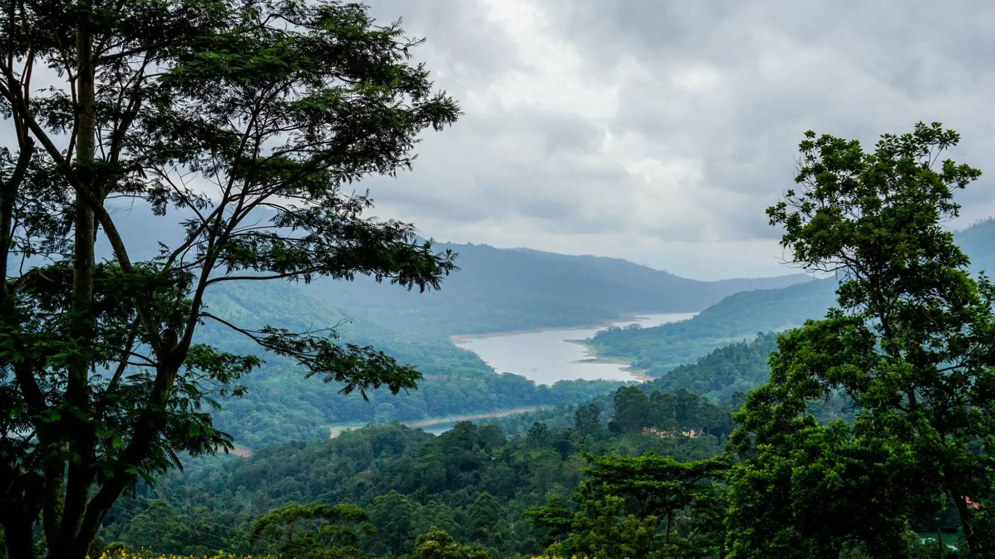
You step out of the car and the first thing you notice isn't the temple—it's the sudden, sharp bite in the air. The sticky tropical humidity of the lowlands is gone. Standing at the edge of the grounds, you look down into the Kotmale Valley where the Mahaweli River looks like a silver thread stitched into deep green velvet. It’s quiet, massive, and makes you feel very small.
- Type: Religious Architecture / Vantage Point
- Best Photo Spot: The edge of the temple grounds looking toward the Mahaweli River.
- Time Spent: 45 Minutes
- The Reality Check: It’s a spiritual sanctuary; maintain silence and dress respectfully despite the cold.
- The Logic: 09:00 AM ensures high visibility before the valley mist thickens later in the morning.
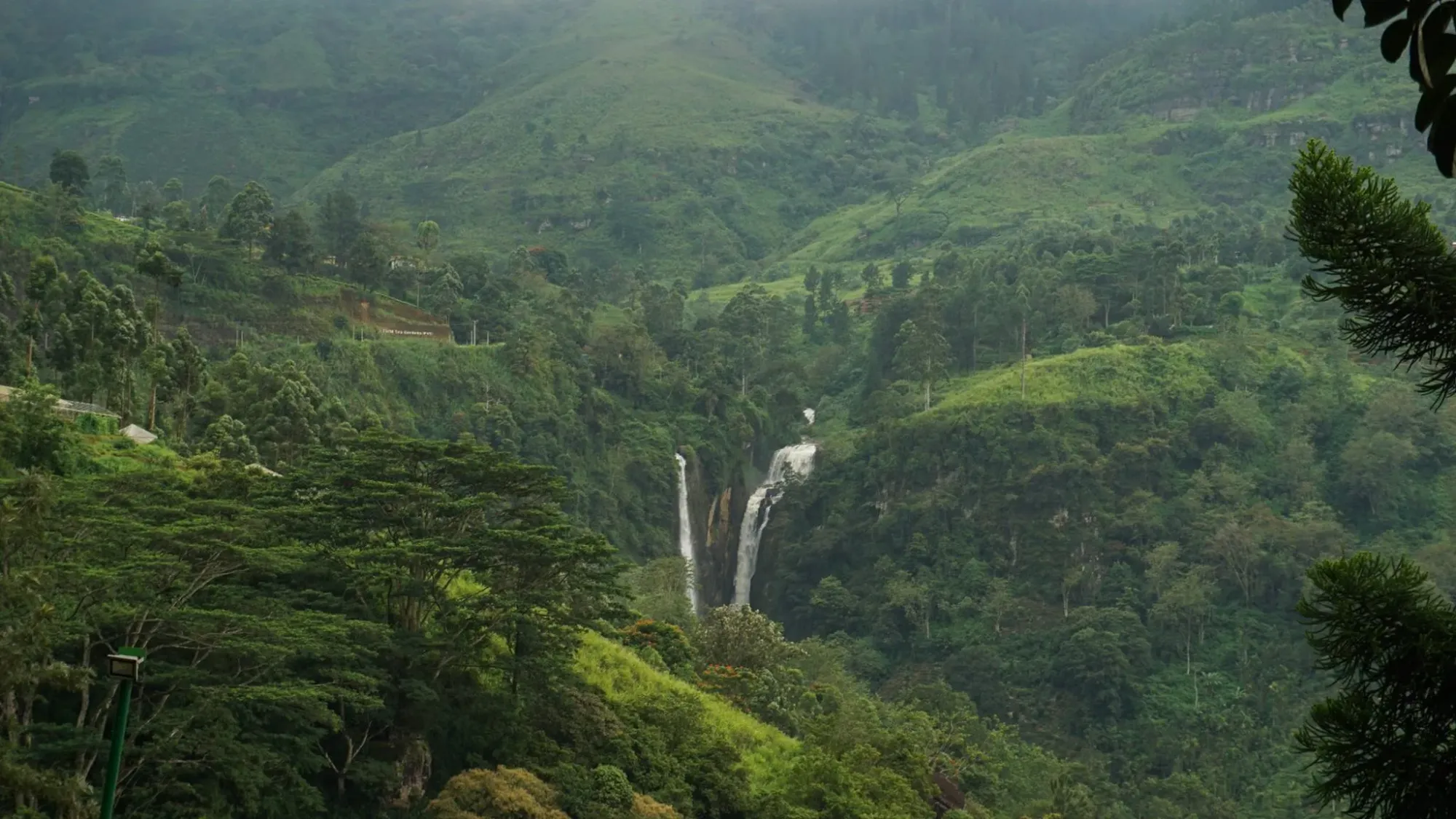
09:30 – Puna Oya Outlook (The Twin Falls)
This is a "blink and you'll miss it" moment. From the roadside deck, you see two massive ribbons of water plunging into the valley depths. Unlike other stops, this is a silent, distant spectacle—a powerful visual of the highlands' massive drainage system without the roar of the water reaching the road.
- Type: Waterfall
- Best Photo Spot: The observation deck near the Tea Bush Hotel.
- Time Spent: 15 Minutes
- The Reality Check: It is a distant visual; you won't hear the water from this height.
- The Logic: A quick technical stop to grasp the sheer volume of water moving through the Central Highlands.
10:15 – Devathura Ella (The Tunnel Giant)
Just as you’re about to vanish into the dark mouth of the Ramboda Tunnel, this waterfall catches you off guard. It’s literally right there on the shoulder of the road. The sound is a chaotic mix of crashing water and the echo of engines entering the tunnel; it feels like the mountain is "bleeding" onto the tracks.
- Type: Roadside Waterfall
- Best Photo Spot: Immediately before the Ramboda Tunnel entry.
- Time Spent: 10 Minutes
- The Reality Check: It’s a high-impact, low-effort stop often ignored by those rushing.
- The Logic: Captures the "bleeding mountain" history of the A5 arterial road.
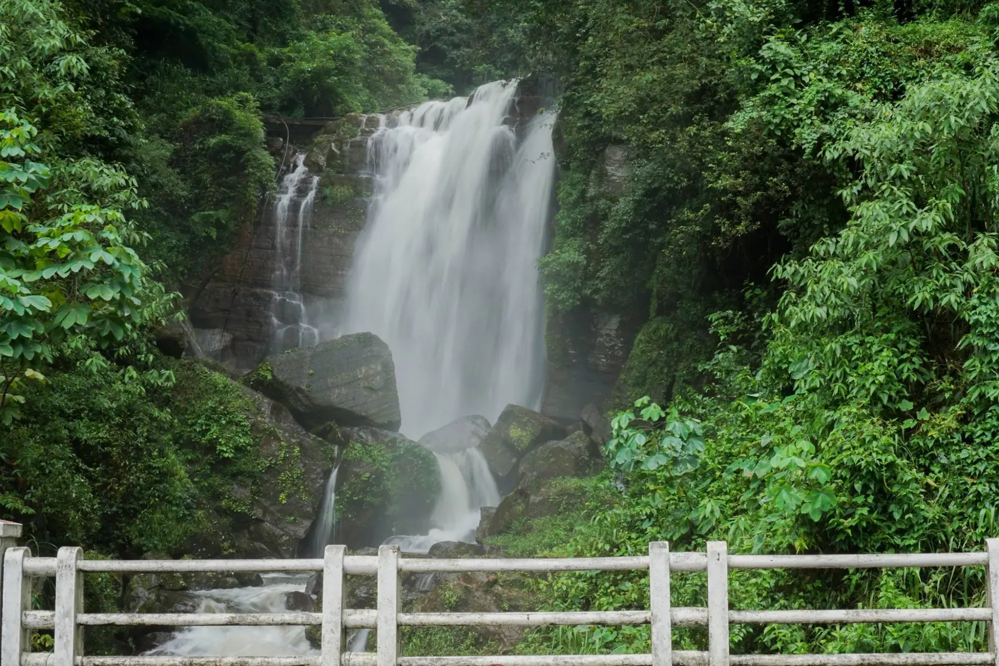
10:45 – Ramboda Falls (Lower Tier)
Imagine sitting on a balcony with a hot cup of Ceylon tea while a wide, powerful wall of water thunders in front of you. The spray is visible from the restaurant deck, dancing over the tables. It’s the most civilized way to witness something so wild.
- Type: Tiered Waterfall
- Best Photo Spot: The deck of the Ramboda Falls Hotel.
- Time Spent: 45 Minutes (including tea)
- The Reality Check: A strategic refueling point where you get the view without the hike.
- The Logic: Saving your energy and leg strength for the upper trek coming next.
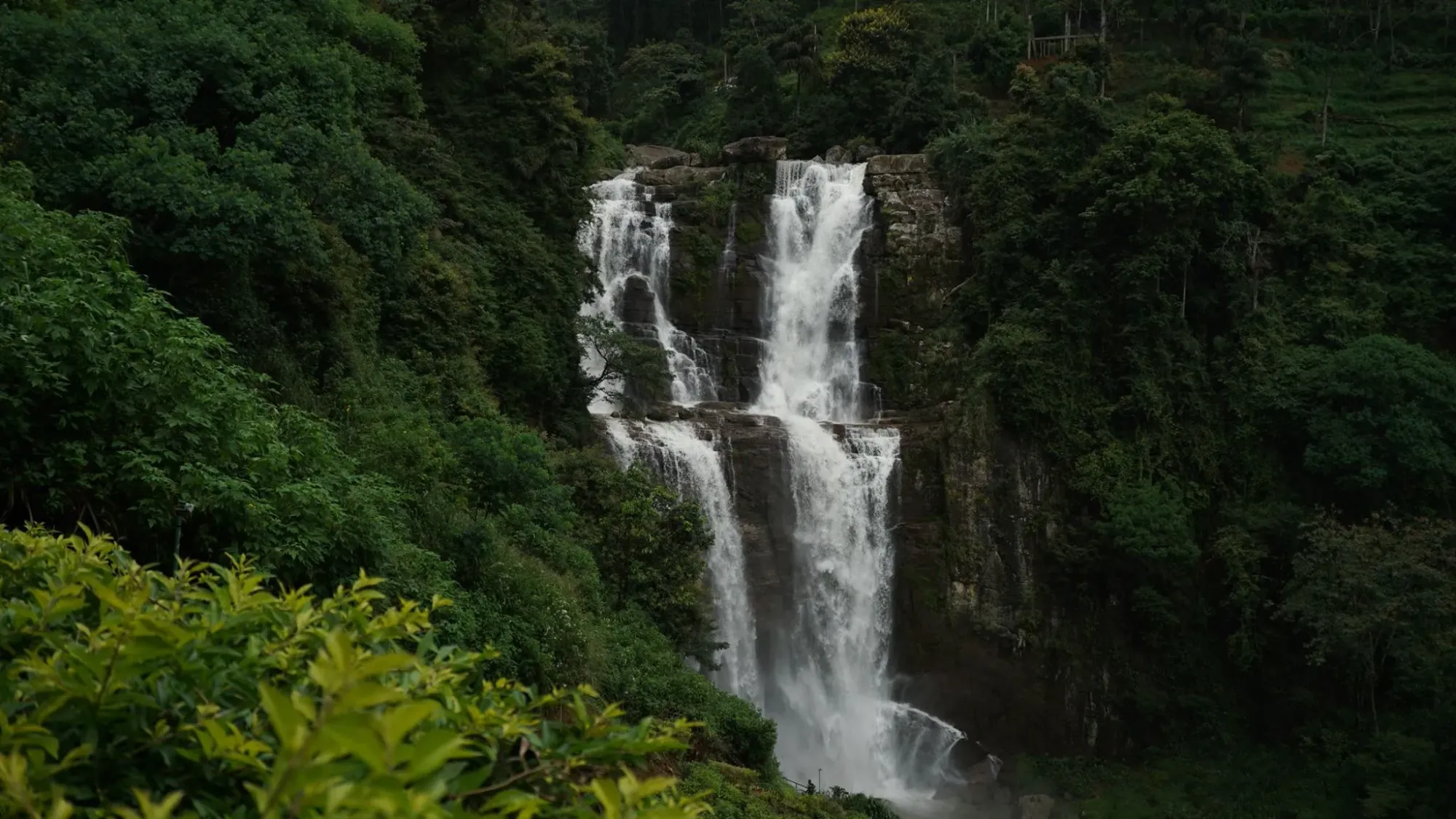
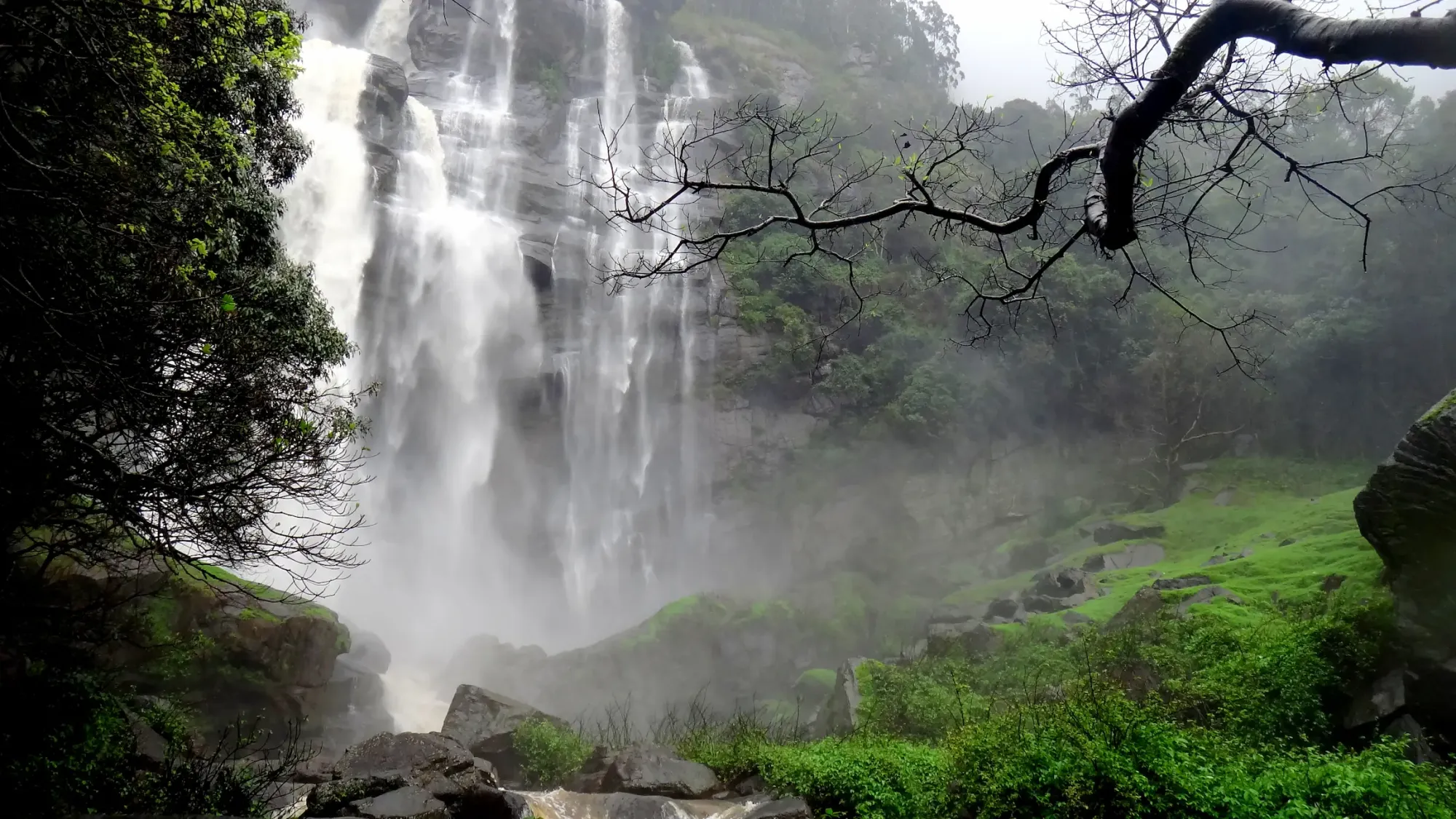
11:30 – Ramboda Falls (Upper Trek)
Now, you earn the view. It’s a steady 20-minute climb up a damp, shaded path. As you get closer, the sound changes from a hum to a roar. When you reach the wooden platform, the air is saturated with freezing spray that hits your face—the definitive "arrival" in the hills.
- Type: Waterfall
- Best Photo Spot: The wooden platform at the end of the trekking path.
- Time Spent: 1 Hour
- The Reality Check: The path can be slippery; ensure your footwear has adequate traction.
- The Logic: 11:00 AM is the tactical win; the sun is high enough to fully illuminate the water curtain.
.
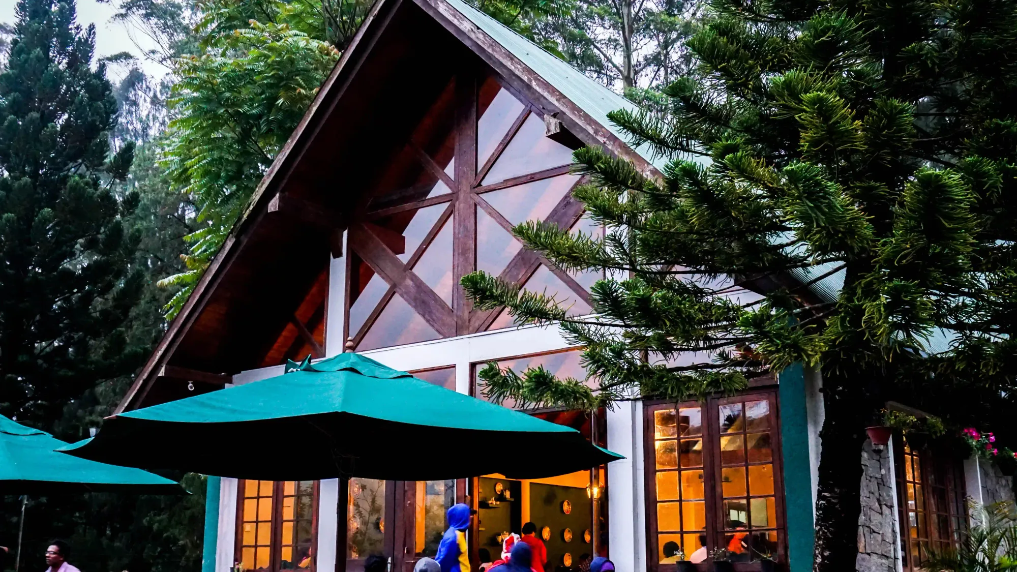
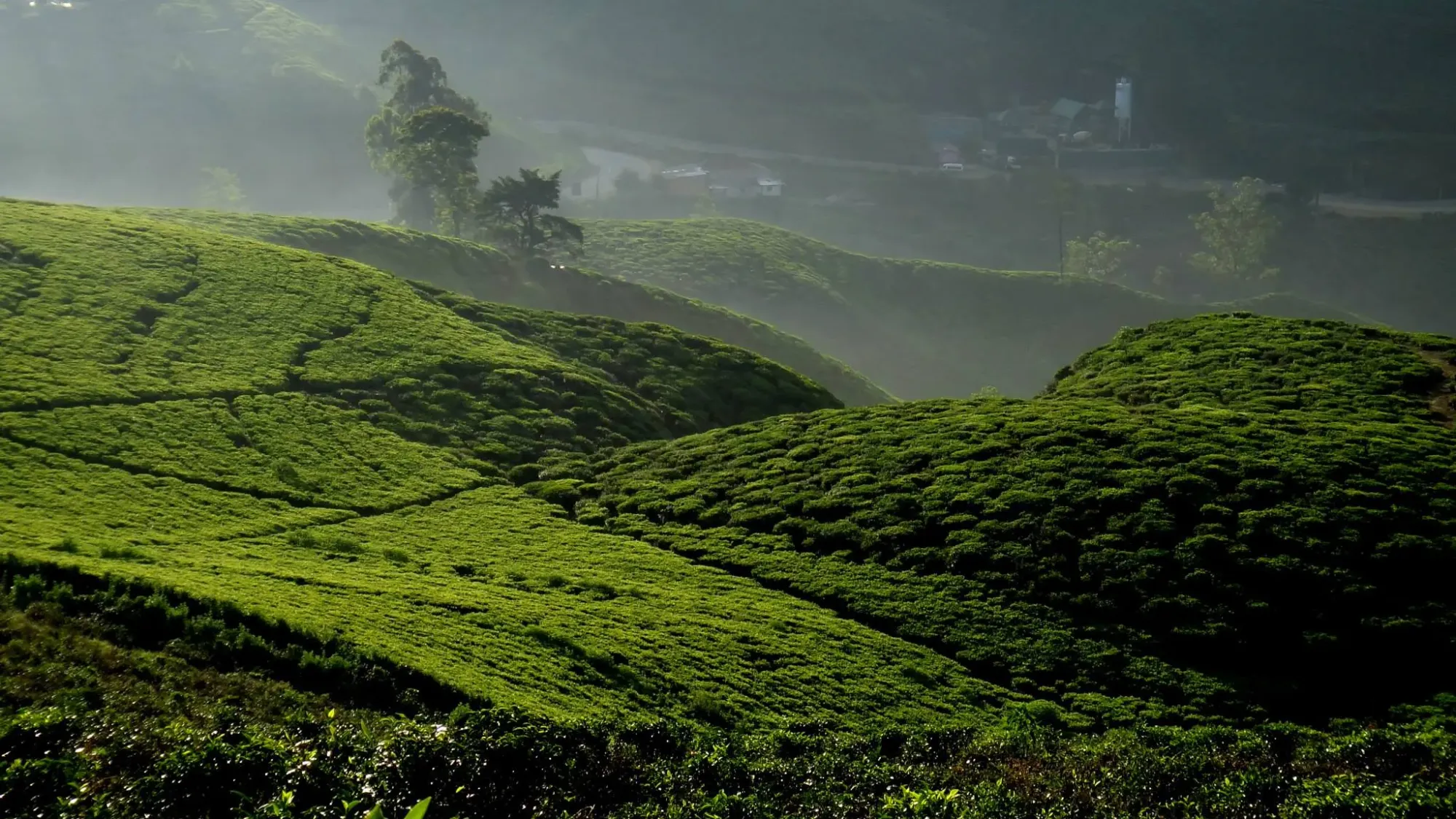
12:30 – Damro Tea Center (The Ritual)
The air here smells of drying BOPF tea—sweet, earthy, and industrial. You’re surrounded by "green carpets" of perfectly manicured tea bushes. Watching the factory hum while eating a slice of chocolate cake is a study in the "ordered nature" of the island's most famous industry.
- Type: Industrial Alpine Architecture
- Best Photo Spot: Overlooking the rolling green estate from the balcony.
- Time Spent: 1 Hour
- The Reality Check: Midday is the best time to move indoors and avoid the harshest overhead sun.
- The Logic: Observe the vast, symmetrical topography of the estate while the light is harshest outside.
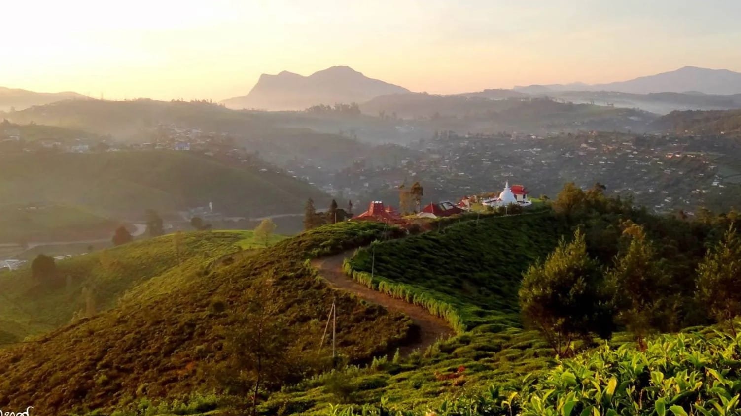
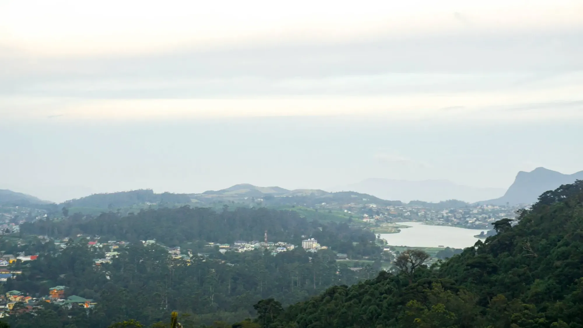
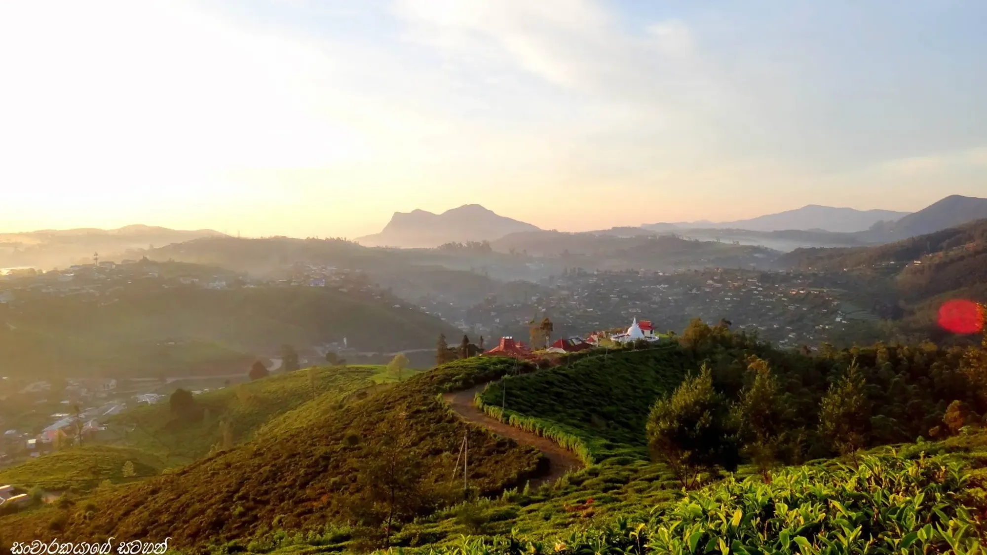
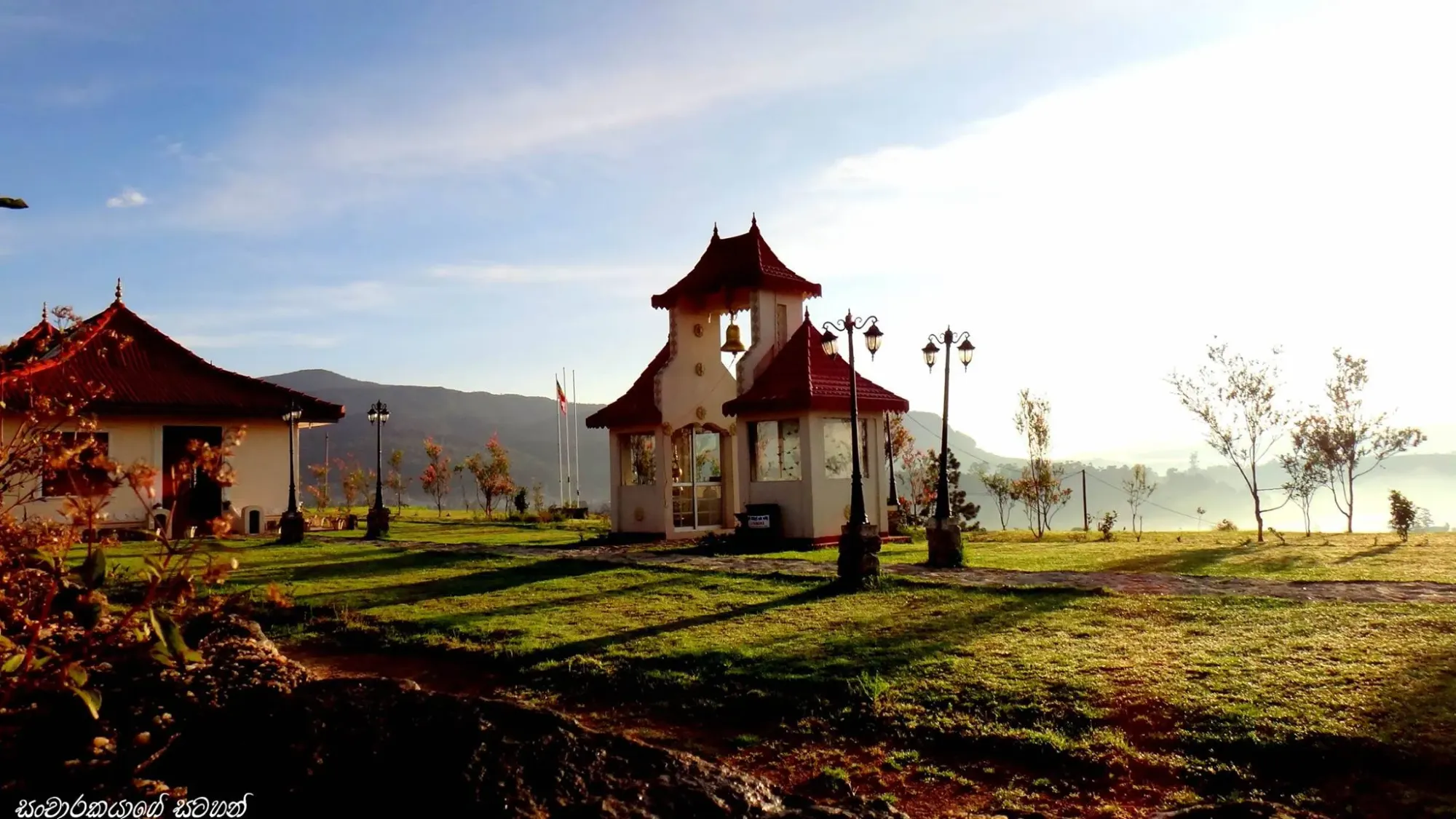
14:00 – Shantipura (The Highest Village)
You’re standing at the highest inhabited point in Sri Lanka. Looking down, the town of Nuwara Eliya looks like a toy map laid out on the valley floor. The wind is constant, and the silence is deeper, giving you a bird’s eye view that makes the busy town below feel small and isolated.
- Type: High-Altitude Settlement
- Best Photo Spot: The viewpoint overlooking the entire Nuwara Eliya valley.
- Time Spent: 30 Minutes
- The Reality Check: Afternoon light provides depth to the valley floor, making the "busy" town look miniature.
- The Logic: A perspective shift that lays the town out like a map.
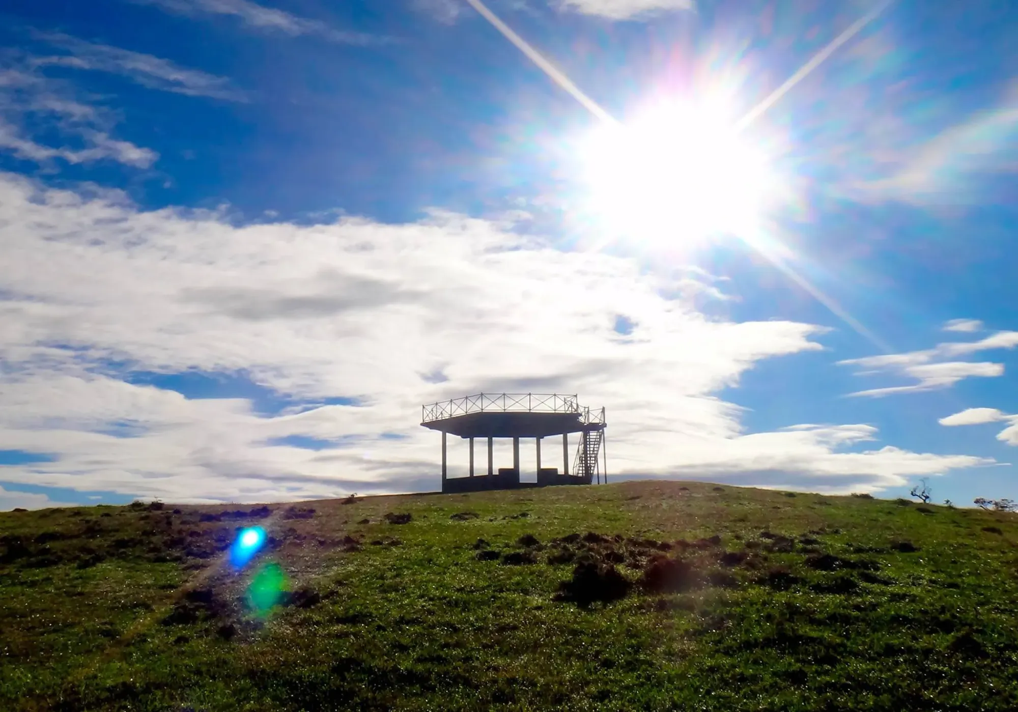
15:00 – Piduruthalagala Summit (The Roof of the Island)
This is the "Roof of the Island". The vegetation here is stunted, twisted, and resilient—nature’s way of surviving the thin air at 2,524m. If you’re lucky, you’ll be standing literally above a "sea of clouds," watching the rest of the world disappear beneath your feet.
- Type: High-Altitude Scrub Forest / Military Zone
- Best Photo Spot: Where the scrub forest meets the cloud line.
- Time Spent: 1 Hour
- The Reality Check: This is a high-security zone; prior permission is required and photography may be restricted.
- The Logic: Late afternoon often creates a "sea of clouds" effect, placing the summit above the weather.
05:30 (Day 2) – Single Tree Hill (The First Light)
It’s dark, freezing, and your breath is visible. But as you walk through the estate, the first light hits the ground. The frost on the tea leaves doesn't just melt—it sparkles. For about ten minutes, the entire hillside turns into a field of diamonds.
- Type: Tea Estate Trail
- Best Photo Spot: 20 minutes past Swarnagiri Maha Viharaya, framing the solitary tree.
- Time Spent: 2 Hours
- The Reality Check: 06:15 AM (Sunrise) is the only time to witness the "Golden Frost" before it melts.
- The Logic: Capturing the specific moment light filters through the mist onto the frost-coated leaves.
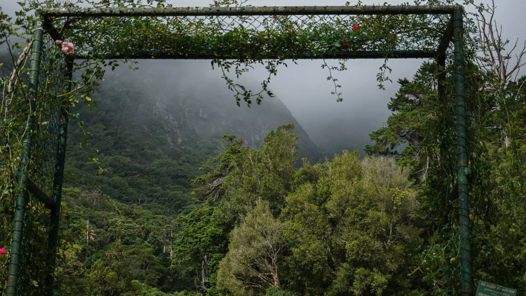
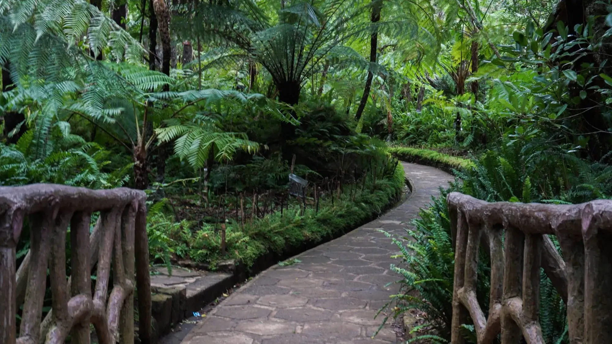
08:00 (Day 2) – Galway’s Land Forest (The Cloud Fragment)
A fragment of ancient wilderness. The sound of the wind here is deeper and more rhythmic than in the open town. It’s a quiet, meditative walk where the sunlight only hits the mossy ground in thin, golden needles through the dense canopy.
- Type: Montane Cloud Forest
- Best Photo Spot: Inside the dense canopy where light filters through the moss.
- Time Spent: 1 Hour
- The Reality Check: It’s damp and quiet; look for endemic highland birds in the undergrowth.
- The Logic: Morning mist enhances the "cloud forest" atmosphere, creating high-contrast light beams.
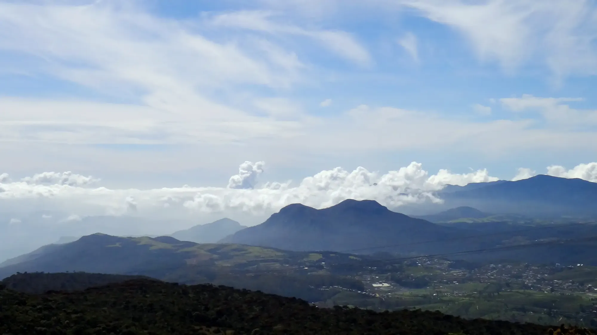
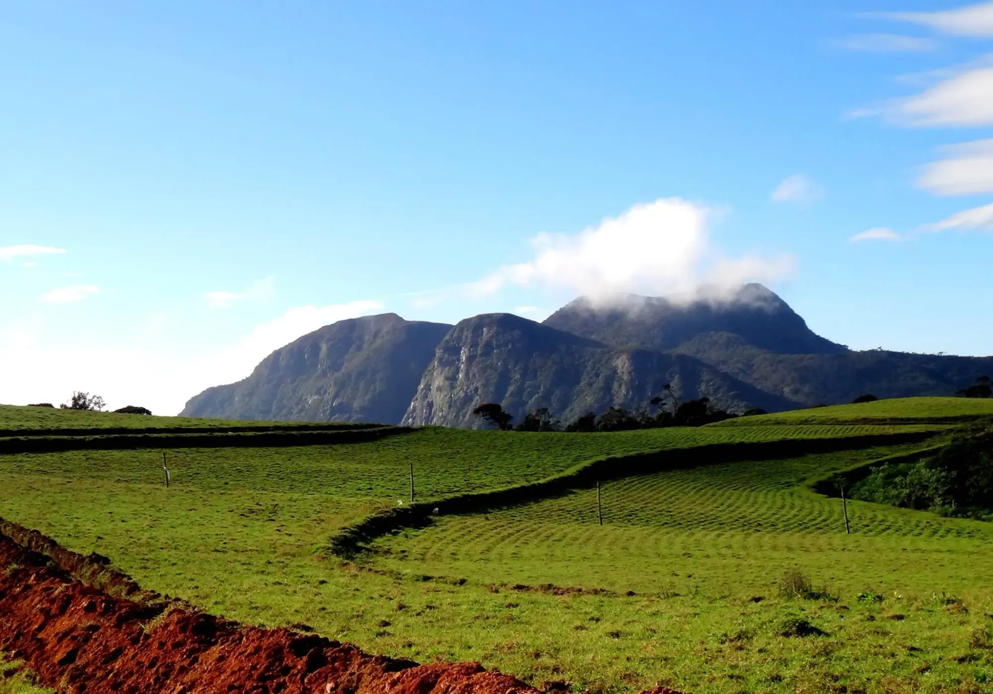
09:30 (Day 2) – Sandathenna / Moon Plains (The 360 Safari)
You’re in a rugged Jeep, bouncing over tracks into a windswept grassland that feels like the edge of the world. At the "Mini World’s End" drop-off, a 360-degree panorama reveals nine major mountain peaks at once.
- Type: High-Altitude Grasslands
- Best Photo Spot: The 'Mini World’s End' drop-off.
- Time Spent: 1.5 Hours
- The Reality Check: Rented Safari Jeeps are mandatory; arrive early to beat the convoy of other Jeeps.
- The Logic: 07:05 AM is the tactical window for clean, uncrowded shots of the rugged Hakgala silhouette.
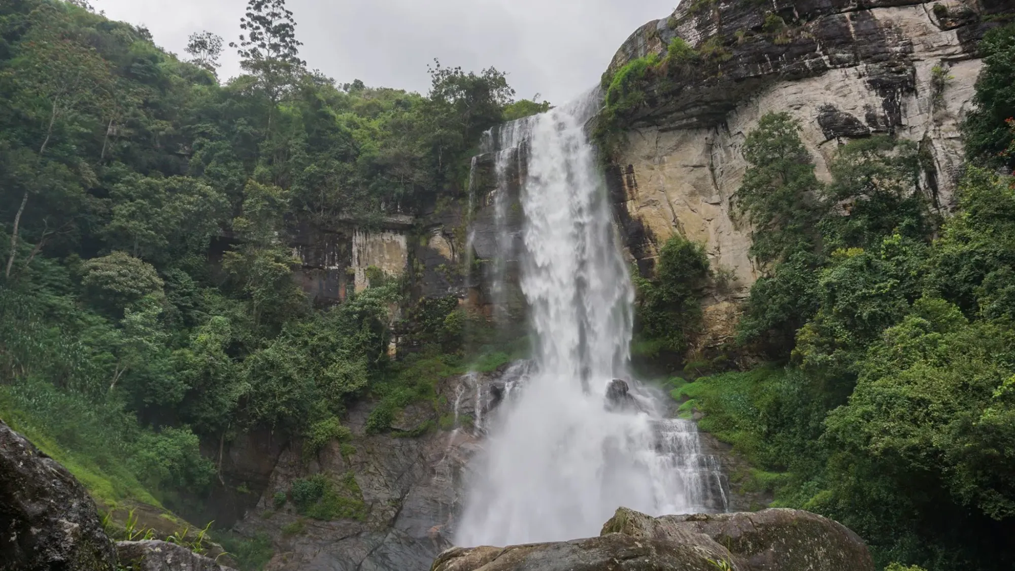
12:00 (Day 2) – Bomburu Ella (The Giant)
The finale. After a hike through quiet paddy fields, you hear it before you see it. Bomburu Ella isn't just a waterfall; it’s the island's widest cascade. Standing at the base, the roar of the "Great Giant" is a total acoustic blackout.
- Type: Multi-Fall Cascade
- Best Photo Spot: Low-angle from the riverbed boulders at the base.
- Time Spent: 2 Hours
- The Reality Check: Requires a 30-minute hike through woods and paddy fields.
- The Logic: 12:30 PM is when the overhead sun turns the crashing water into a brilliant, high-exposure white.
The Reality Check: While I focus on these hidden rhythms, Nuwara Eliya's famous landmarks—Lake Gregory, Victoria Park, Hakgala Garden, and Lover’s Leap Falls—are staples everyone knows. They are beautiful, but they belong to the tourist. The logic above belongs to the explorer.
The Logbook Gallery: Strategic Photo Coordinates
1. The Valley Spine (Hanuman Kovil)
- The Shot: From the edge of the temple grounds looking toward the Mahaweli River.
- The Timing: 9:00 AM. High visibility before the valley mist thickens.
2. The Symmetry Shot (Upper Ramboda)
- The Shot: Stand on the wooden platform at the end of the trekking path.
- The Timing: 11:00 AM. The sun is high enough to illuminate the falls.
3. The Golden Frost (Single Tree Hill)
- The Shot: Position the solitary tree on the left third of your frame.
- The Timing: 6:15 AM (Sunrise). When the first light hits the dew.
4. The 360 Panorama (Moon Plains)
- The Shot: Stand at the 'Mini World’s End' drop.
- The Timing: 7:05 AM. Be the first in the gates to get a clean shot without other Jeeps.
5. The Great Curtain (Bomburu Ella)
- The Shot: Low-angle from the riverbed boulders.
- The Timing: 12:30 PM. The high sun turns the falling water a brilliant, crashing white.
The Explorer’s Disclaimer: The highland landscape is a living entity, and its moods are dictated entirely by the elements. The clarity of these vistas and the sheer volume of the waterfalls can change rapidly based on current weather patterns and seasonal water levels. While the "Golden Hour" is a target, the best time to witness these falls in their full power is usually just after the rainy season. Ultimately, the mountains decide what they reveal—you still have to be lucky to catch the perfect view.
🗄️ The Data Archive
Planning a deeper route? Access the Master Field Index for a structured database of 15 years of Sri Lankan field locations, including exact timings for 130+ waterfalls, digital nomad hubs, and heritage sites.